Blogging your way to anywhere is really what this blog is about.
BUT….
This Easter we blogged around the Wheatbelt Way, a driving trail of small wheatbelt towns in the north eastern wheatbelt of Western Australia. This drive features Dowerin, Koorda, Beacon, Westonia, Nungarin, Wyalkatchem, Bencubbin, Mukinbudin and Trayning. We were focussed on visiting the stunning rock formations on the drive.
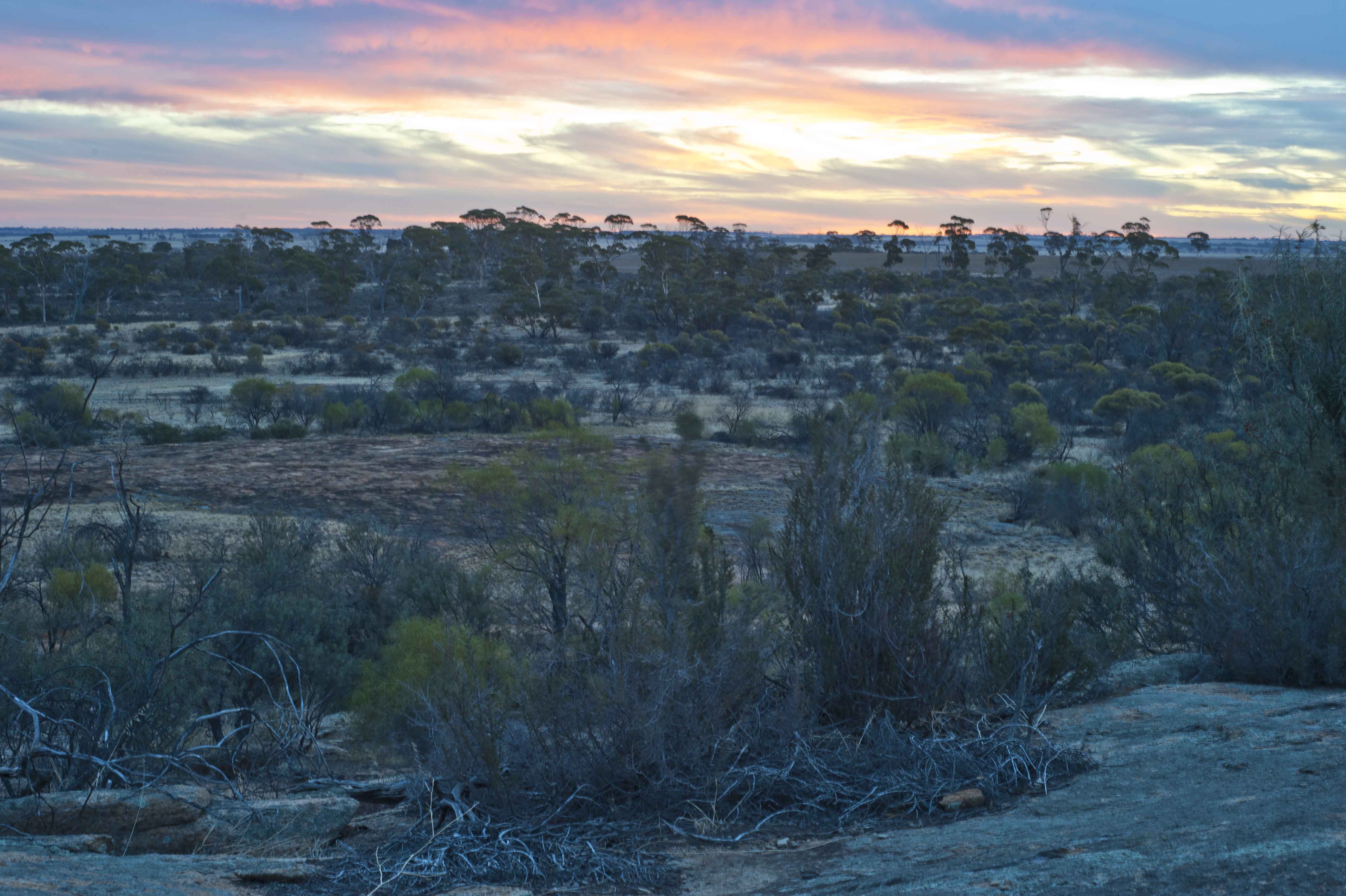
Our first night was the view from Marshal Hill over looking the flat farmlands and salt lakes.
We had great internet service from here. I was able to put together some info for my blogs, I actually listened to a tutorial while Rob cooked dinner for us. Fab way to learn blogging.

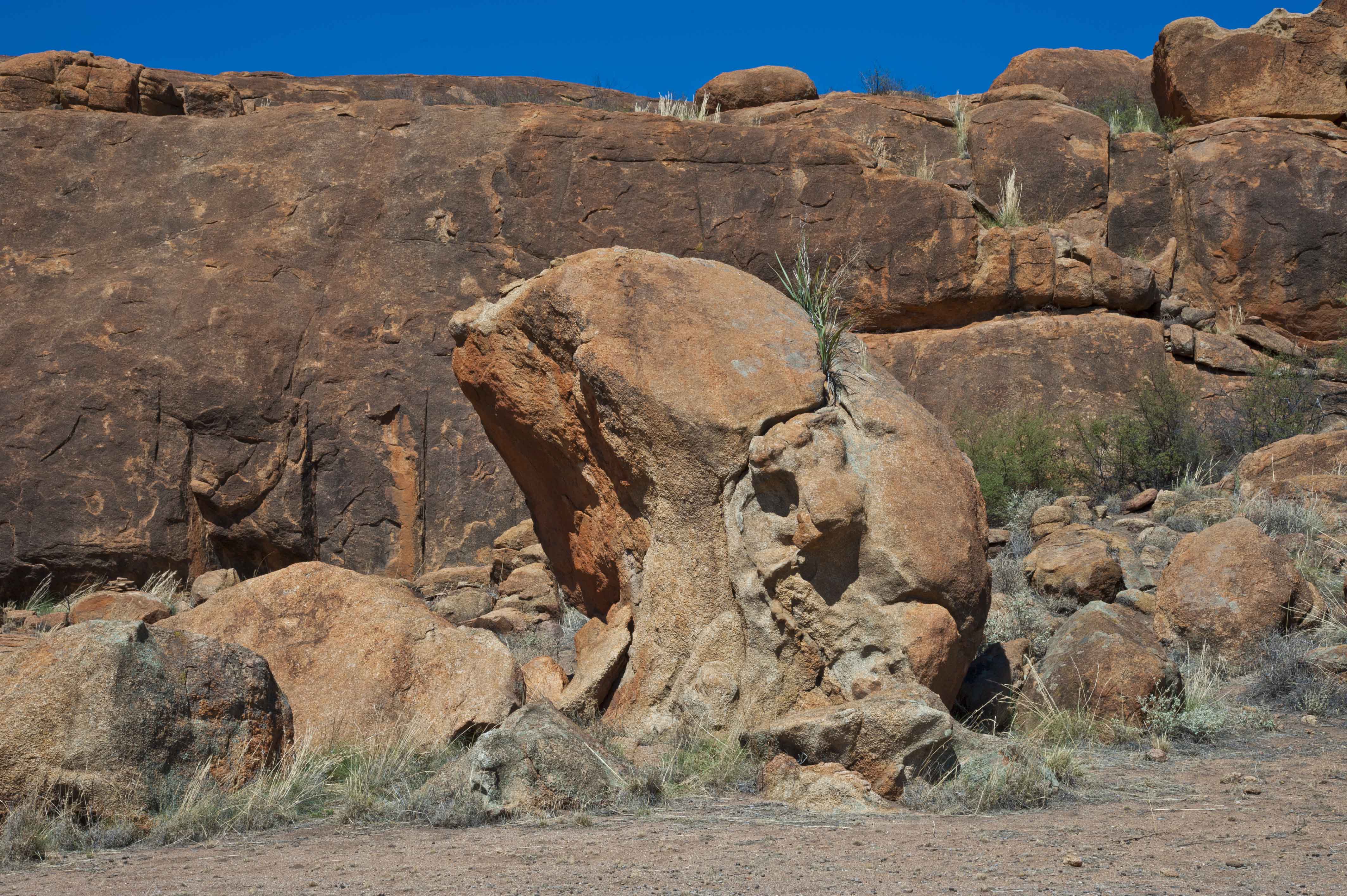
The rocks became more and more spectacular and unusual, something that we don’t expect to see in flat and salty farming land.
Billiburning Rock was one that we could drive on rather than take it on with our own two feet. As it was a hot 33 degrees that was a good option.
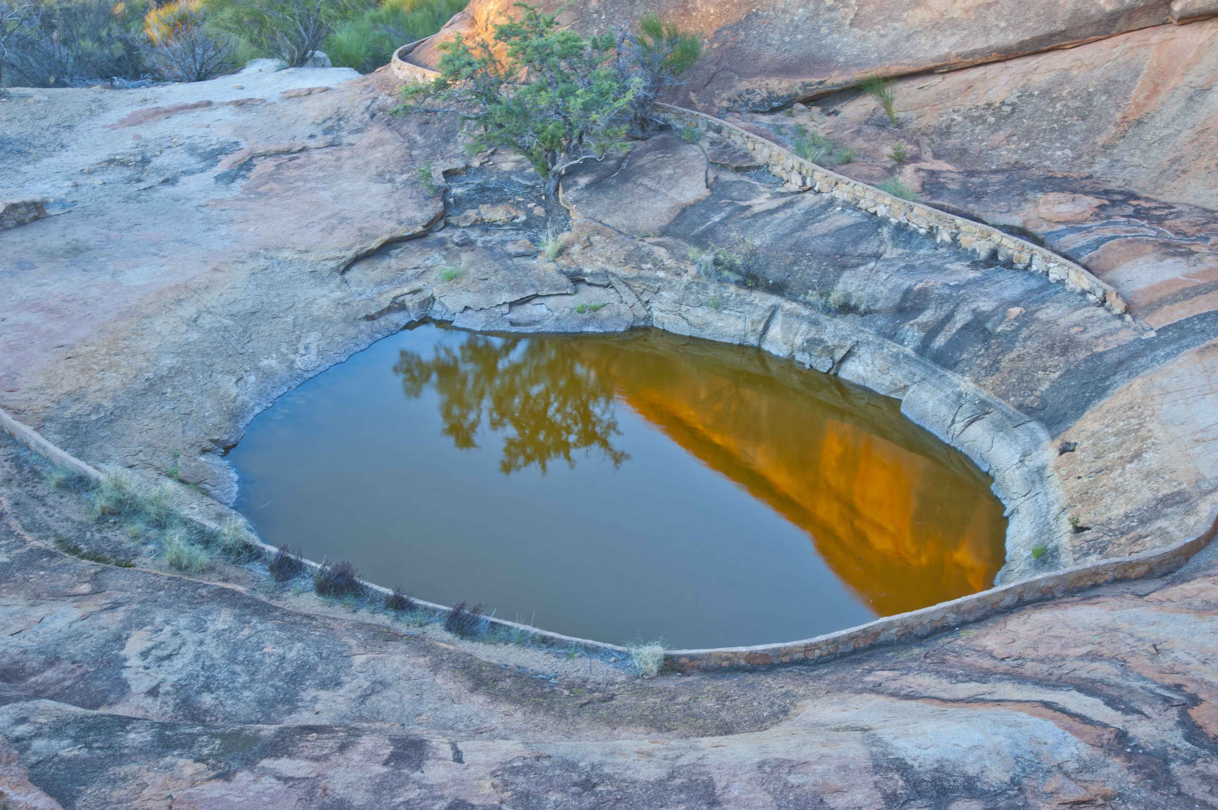
Another funny named rock was Beringbooding Rock . This rock has the largest rock water catchment tank in Australia holding two and a quarter million gallons. The gnamma hole is stunning, especially at sunset. We had a family of pigeons waiting for us to leave.
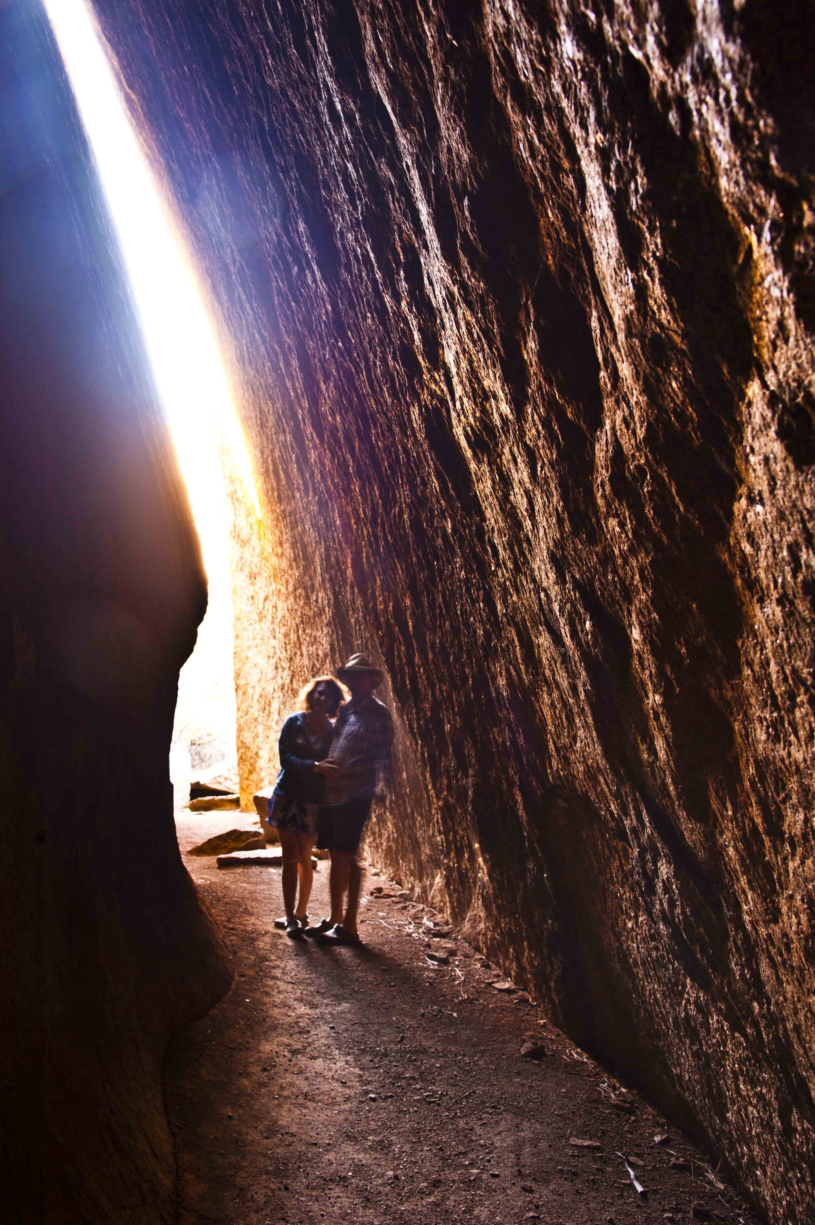
Elachbutting Rock is not far, maybe 30kms from Beringbooding…. how did you go with spitting out those weird long names… too funny!!!!!! Montys Pass is just one little bit of Elachbutting Rock.

Many of the rocks have free camping and a toilet. I’d recommend you keep your fuel topped up. We took an extra 20 litres of fuel and about 30 litres of water enough for two days for showers, drinking and washing up. Especially around long weekends those little towns are not open. Mukinbudin has credit service fuel and a water tap, this is not on the main street you need to drive over to the other side of the railway line. We had the BEST fish and chips.. I know … glamping it what we really do!!!!!!
Love to hear your comments so far, when we get to another chunk of internet and time Ill post more for you.
In my “how to blog” I have uploaded a video on how I keep connected to the internet when I’m out and about.
Have an Awesome day!
Di
Skype: didownie
Fabulous pictures and great tips Di. Thanks so much
Thankyou Diane for taking the time to come in and comment and I trust you gained a little bit of value from reading my blog.
Thanks Diane for coming in and commenting. Good to hear that I am giving value to you.